
Did I mention that we're in the midst of a heat wave with temperatures up to 35 C with the Humidex factored in.
Suffice to say it was HOT.

As we neared the coordinates of the treasure, staring down at the screens of our GPSs, Jacqui and I stumbled in circles around and through some evergreens calling to each other: "I'm at 6 metres here", or "I've got 10 metres here--I'm heading toward you". In this way we zoomed in on the location of the cache. Once we were a few metres away we stop looking at the screen and start searching in earnest. When we spotted the cache we felt a bit silly. It wasn't exactly small, or hard to spot !

It was an honest-to-gosh, fulled-sized treasure chest !
And oh the wonders it contained .
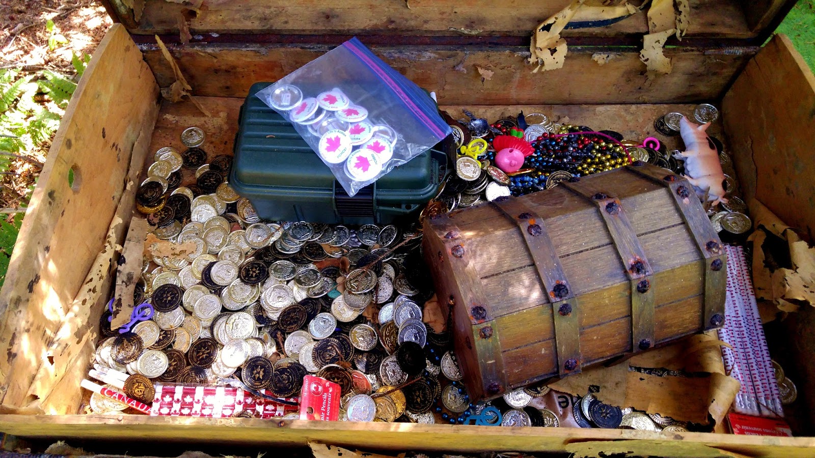
There were Doubloons, and foreign coins of many varieties -- all of it fake -- and all of it quite wonderful. There were "jewels" and packages of pencils and in the plastic bag some travel bugs with tracking numbers that we can drop off in a cache somewhere else.
 |
| Yours truly going a tad gold-mad ! |

Bones, a skull, one shoe and strangely enough, Christmas decorations, and of course, MORE coins.
This cache has only been found twice this year so Jacqui and I were thrilled to be the third group to find it.
After putting everything back as we found it, signing the log, taking a trinket and leaving a trinket, we set off back down the hill following our own trail through the broken bracken.
Thrumcap's physical connection to McNabs Island is by a thread of land that one day will be breached by the Atlantic. After that happens accessing the "Treasure cache" is going to be even harder.

From a distance Thrumcap's typical tear-dropped drumlin shape is easy to see.


We headed up Rifle Range Trail taking a brief side trip along Searchlight Road to look for a cache hidden near the shore.


The cache was hidden in the roots of an up-turned tree. Jacqui checked out the signed log to see who had found it before us.

We'd spent a couple of hours slogging up and down Thrumcap finding that "Treasure Chest" so we were keen to look for a few easy caches one of which was back on the Rifle Range Trail. We were pretty sure it was in this tree but after 20 minutes of unsuccessful searching we had to give up.
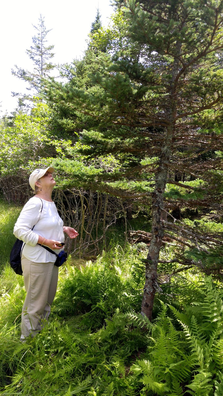
While we searched, Wendy rested in the shade.

Later we settled down to have a picnic lunch near what had been an old rifle target shooting range. Years ago this equipment raised up targets; now it is sinking into a widening bog.

Nearby I found some sprouting "Indian Pipe". This fascinating plant lacks Chlorophyll.

Farther up the road we came across three concrete rangefinder platforms. Inside one of them Jacqui found a small cache tucked under a rock in a crevice in one the building's walls.

With less than an hour left before we had to meet up with the ferry, we hustled over to Fort McNab. There were many marvellous buildings to explore but in finding two more caches we ran out of time and had to leave their exploration for another visit.


Our final hike down the shore to our meet-up point got us there with 10 minutes to spare. It had been a full, tiring, fun day. I'm looking forward to our next caching adventure there.


