Showing posts with label ice. Show all posts

Wednesday, January 22, 2020

Rainbow Haven in winter.

Today the dogs and I headed to Rainbow Haven, that is after I checked the tide times.

Being on the Atlantic side it is not dangerous to get tide times wrong; it just means that you may be disappointed by the total lack of beach.  I learned that low tide was to be at 12:30 so I knew that by arriving at 1 ish there would be lots of beach, and I wasn't disappointed.


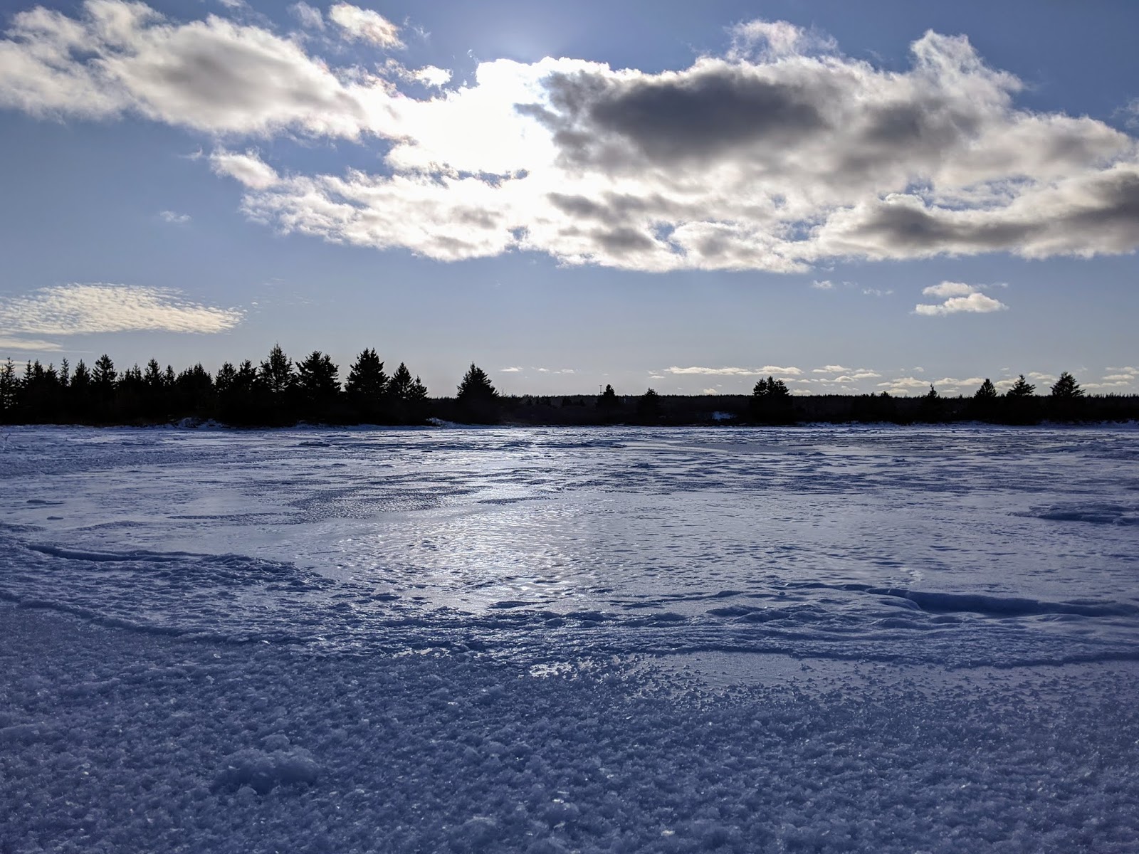
The beach is quite different in winter with blocks of ice that have been pushed up to the high tide mark.

Frozen in time the waves lie rigid on the shore.


 Not just bigger waves, but little ones were also stopped in their tracks too.


How remarkable is this ?   Frozen bubbles !


Of course I wasn't walking alone.    My best buds were with me.  I think Sooki looks particularly dignified in this photo; which isn't easy considering the crazy outfit she's wearing.


And of course they were glad to have a huge expanse of beach to run on. 


In a couple of hours this whole area would be under water.


In the summer we'd walk up the beach and then circle back down on the path that runs up the peninsula which juts into the harbour.


Compare the photo above with the one below.  Both images were taken at just about the same spot.


It would appear that even more of the land is being covered at high tide.  The land to the right of the path is covered by ice.


And in the foreground was an interesting ice formation with layered slivers of ice.  Of course I just had to taste a piece to confirm it contained salt.  And yep, it did.  


Wouldn't you ?

Tuesday, February 5, 2019

Get a grip !

Winter so far has been a roller coaster of thaw and freeze,  rain and freeze; resulting in most trails being almost unwalkable.

I hauled out my ski pole that I use as a hiking pole but my "grippers" just weren't up to snuff.

For those of you who are lucky enough to not encounter these gawd awful hiking conditions, grippers (also called icers) attach to your boots to allow you to walk on slippery surfaces.  The ones I used to have pulled on over the front of my shoe and then pulled over the heel.  Sadly they have a tendency to flip off the boot and hence get shed in the woods.  Sometimes they can be found hanging from trees.  Other times the trail is decorated with the yellow or orange cleats that have popped out of their rubber.


Two days ago tramping through the woods I looked down and realized I had only one gripper on.


The most common conversations after those about dogs are about grippers.  "Where did you get your grippers?"  "Do those grippers work?"  "Can I ask how much your grippers cost?"

The answer to the last question can range from $10 to $80 !

My grippers were the low end ones and after a while I came to realize it was time to step up and get better ones.


Exhibit A  -- new grippers


With taxes they were around $60.  And after my first walk with them today I quickly realized they were worth every penny.


One of our favourite destinations is the small waterfall in the woods.


The waterfall is different each time we visit it.  And so are the trails leading there.


Without my grippers I would miss all this ...


Me and my buddies would miss all this ...


And today's foggy mild day is going to give way to frigid temperatures tomorrow which will lead to even more ice ... sigh.


Sunday, March 30, 2014

There is no tree outside my door.

I tell you that there is no tree outside my back door to help you understand my bafflement at seeing one there today.  

There it is.   A tree where none should be.


To the right in this photo is a long set of stairs.  

At the bottom of that set of stairs, is a tree that I planted four years ago.  It's a tall tree, perhaps 15 feet high.  That lovely tree was bent far over, a vivid demonstration of how heavy and destructive freezing rain can be.


I love that lil' tree and it saddens me that the weight of the ice is breaking its branches as the winds bang it against the side of the house.  I tried to bang some of the ice off the branches but that only sped up the damage.  


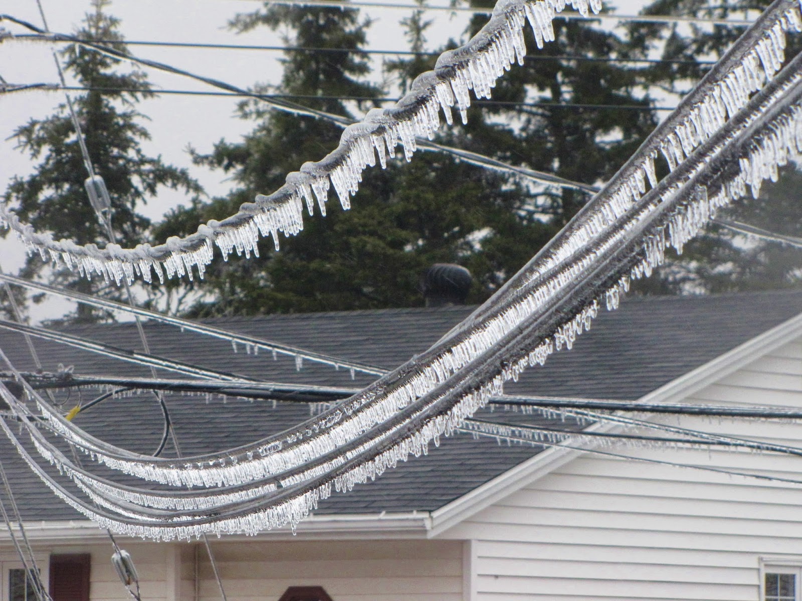
But "yes" freezing rain does make things look pretty.   

  Rose arbor
Rose bush by the front door
 Lilac bush.

But it's pretty tough for the birds.


And downright lousy for the power companies !


Thursday, February 7, 2013

Frigid Fundy .


Yesterday Lynne and I, with Wendy and Trey in tow, went to see how the Bay of Fundy is dealing with this bitter winter.

Normally when you go to visit a place you check to make sure you know where you're going and what the weather will be like.  When you visit Fundy, you must also take into account one other very significant factor -- the tides.

Here's a what a tide table looks like.  In the sample below you can see that HIGH tide was at 4.26 a.m. and peaked at 13.6 m or 44.6 ft.  YES, 44.6 FEET !   Low tide was at 10:51 a.m. at 1.9 m or 6.2 ft.


The high and the low tides do not occur at the same time each day.  They advance around the clock by about 50 minutes each day.   Note too, that there are two high and two low tides each day.  It takes the tide about six hours to go out and then six hours to come in, then six hours to go out, well you get the picture.

The tides on the Bay of Fundy are the highest tides on the planet.  The 100 billion tonnes water flowing in and out of the Bay of Fundy is greater than all the water in all the freshwater rivers on Earth !  


As you can see from the image below, Fundy is wider at its mouth and gets narrower towards the top. What you can't see is that its bottom likewise goes from deeper to shallower.  Now, imagine lifting up one end of a bathtub with six inches of water in it.  The tub is shallower and narrower at the far end.  As you tip it, the water gets far deeper than the six inches it started at.  Fundy's like that bathtub.  Neat eh ?


As we were headed for Burn(t)coat Head (no one can agree on the spelling), the site of the highest recorded tides in the world, it was important to know where we were in the tide cycle.  Can you guess where Burncoat Head would be located on this map ?

Here is an image of Fundy at low tide in the summer.  No water in sight.  Six hours later, at high tide, the water would be reaching into the foreground area.


So what did Lynne and I find at low tide yesterday ?


The ice that formed at high tide was left behind when the water underneath it receded.


My plans for Lynne and I to walk the shore at low tide, were quickly dashed.

Gypsum cliff at Cheverie.

With a few exceptions the shore was impassible.  We consoled ourselves with getting as close as we could, and taking lots of photos.

Lynne freezing her hands to take photos.

Trey on the ice.

With their built-in, claw-grippers, the dogs walked safely on top of the slushy tops of the ice blocks.  As the tide was out, there was no water below them.

Wendy with the gypsum cliff at Cheverie.


The same little island at Burncoat Head at low tide in summer and winter.


I am not liking this colder than usual winter, but I must confess that it has created some incredibly beautiful scenes.


Monday, January 28, 2013

From slush to ice.

On the same walk where I got the marvellous shots of the frozen, slushy waves, I found something else that I wanted to share with you.  Here in this pond behind the beach: do you see them ?


This brackish pond just above the tide line was frozen solid.   No, no, I know you've seen frozen water before.  It's not the ice I want to show you:  it's what's in the ice.

Without realizing it, Trey is pointing them out to you.   Can you see them ?


There in the ice was something that amazed me enough to go back home to get fresh batteries for my "dead" camera, and come back out in the bitter cold.   There in the ice was something I'd never seen before.

Gingerly I folded myself down and lay on the glassy surface, and pointed my inadequate camera downwards.

And this is what I saw ...


BUBBLES !


Stacks and stack of  bubbles.


Stacks of flat bubbles.

Isn't that the coolest thing ?

What on earth caused these frozen, flat bubbles ?   I checked with Mr. Google and he sent me to New Scientist's Question and Answer science page, where I found this explanation:

"In ponds and lakes, the biological activity of microbes in the sediments on the lake floor produces bubbles of gas, usually methane or carbon dioxide.  In winter this activity is slow, but it is still present.

The gas bubbles rise to the frozen surface, becoming trapped there.  The following night another layer of ice forms beneath the bubble, so it is encased in ice.  This leads to the flattened shape you see.  The picture is a frozen daily record of the gas emissions."

Now to add to the fun:

"...If you'd like to find out if it is methane that is trapped inside the bubbles; make a tiny hole in the ice directly to the trapped gas inside the bubble and light it.  If it's methane, you'll see a flame ..."


Got a match ? 

Sunday, January 27, 2013

I won't miss this bitter weather but,


I won't miss this bitter weather but, boy it has created some unusually beautiful conditions.


Yesterday I took Wendy and Trey for a bit of a walk along Shore Road.   This is a section of road that leads up to Hartlen Point.  There are several spots where it's possible to park your car off the pavement and then, it's a short walk to the shore.

It was low tide.  


Close to shore a thick, slushy, ice mixture undulated as the ocean breathed in and out, in and out.


The frothy mix created by the retreating waves of the previous high tide had frozen into wonderful curving shapes.


What you can't see in these shots are my frozen fingers.

I wore thin gloves under a pair of mittens but had to take one mitt off to take the photos.  The thin gloves were no match for the bitter wind.


Sometimes when walking along, with the sun on my back I'd think "this ain't so bad".  Then I'd turn to walk back, discovering that I was now walking directly into the wind.  Head bent over, hands rammed in pockets, I strode back toward the car.


After throwing the ball a few times, of course.